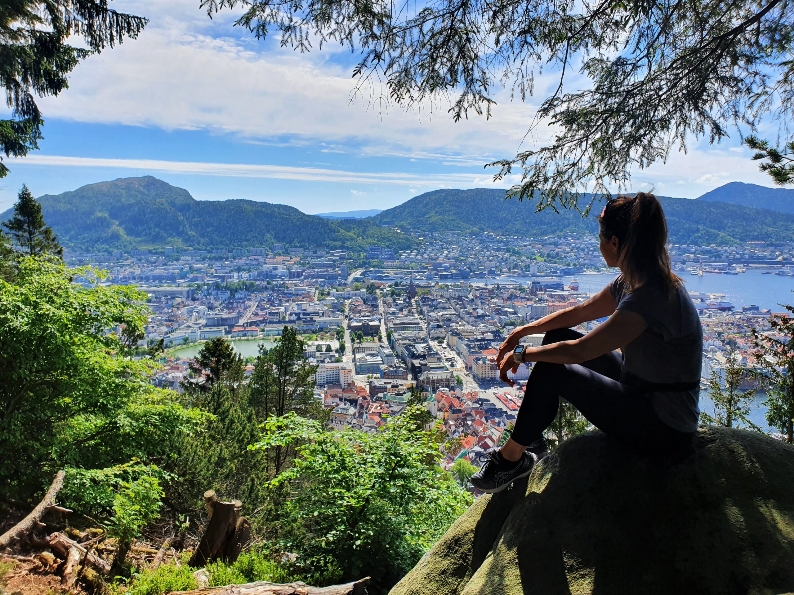
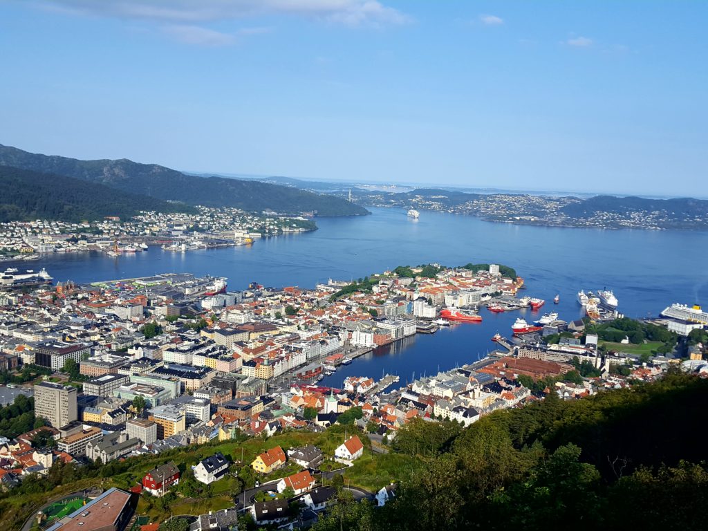
One of the best things about staying in Bergen is the easy access to great hiking terrain, even when you live in the city centre. The town of Bergen is known to be surrounded by “seven summits”. All the seven mountains are relatively easily accessible, which is great if you are interested in a bit of hiking whilst in Bergen. It is possible to stay in Bergen for a week and hike a new summit every day, even without having a car.
This is and overall hiking guide to the seven mountains surrounding Bergen, how you can access them, and what to expect during your hike.
MT FLØYEN AND MT RUNDEMANEN
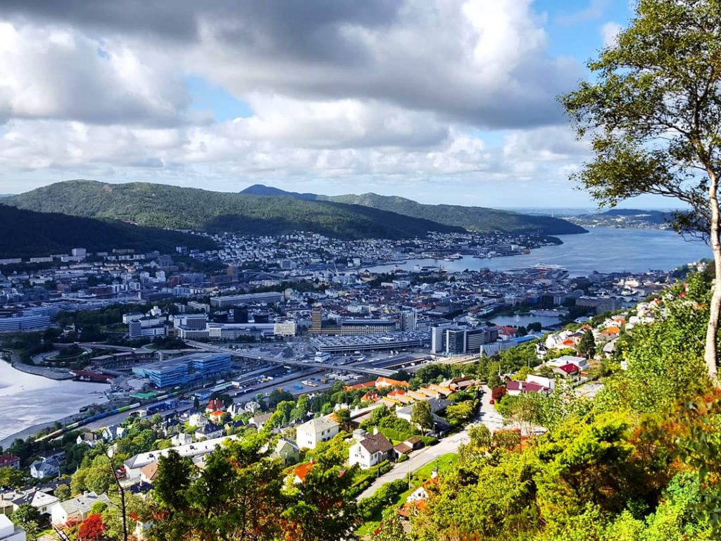
First of all, the famous Mt Fløyen, one of the seven summits, is well known to be accessible by funicular straight from the city centre. However, Mt Fløyen is also accessible by foot from the city centre of Bergen. You can start the hike from behind the Mt Fløyen funicular and make your way up to the top. The hike takes about 1 hr to the top in a moderate pace and the incline is about 380 metres.
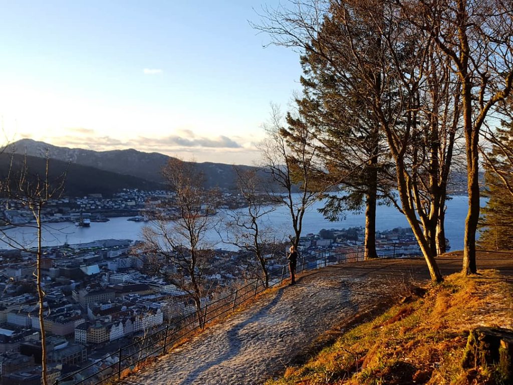
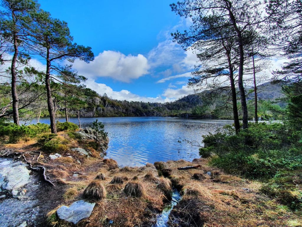
Once you are the Mt Fløyen base you are able to access a larger mountain area that takes you a higher up to Mt Rundemanen, the summit that lies further behind Mt Fløyen, at about 550metres above sea level. This summit is also one of the seven summits of Bergen, and can be climbed either after taking the Mt Fløyen funicular then hike further, or by hiking from the town centre. The hiking trails to Mt Fløyen and to Mt Rundemanen are relatively easy as there is a gravel road or footpath for most of the way. However, many people make this hike, so if you want to avoid the crowds and hike on more hidden tracks and get some different views on your way we highly recommend hiking with a local guide.
Be careful to hike on the unmarked trails on your own, as the sign posting is not the best, and the difficulty level harder to predict. Mt Fløyen arranges guided trips to Mt Rundemanen in large groups. If you want a more unique hike, we recommend you hire your own guide.
SANDVIKSFJELLET / STOLTZEKLEIVEN
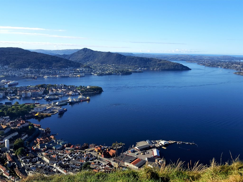
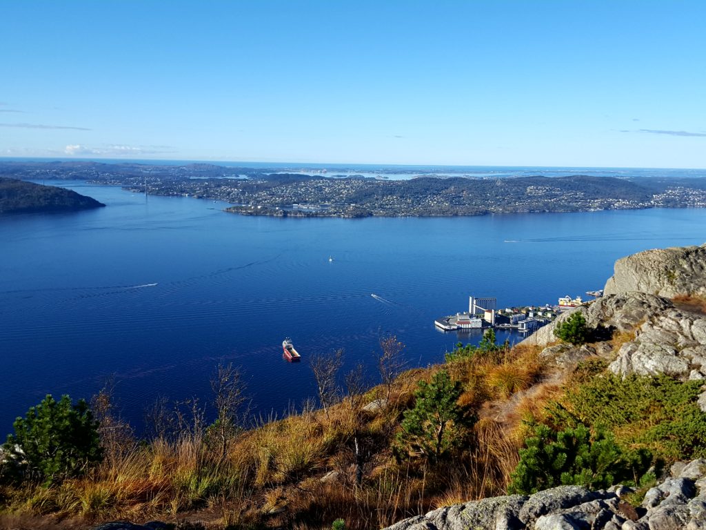
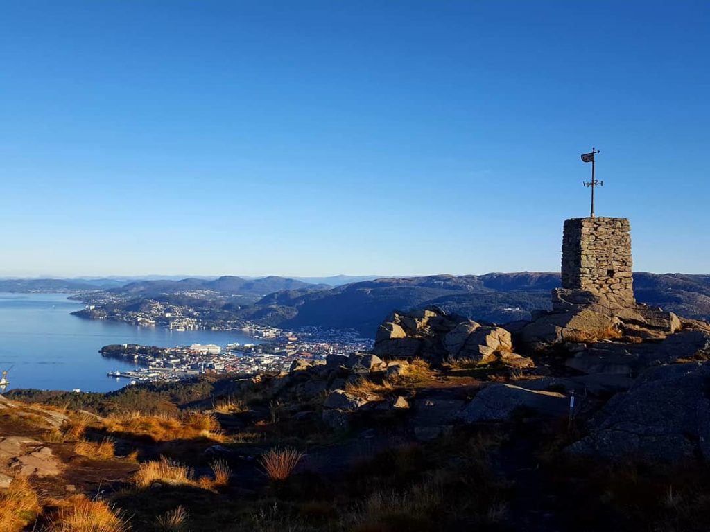
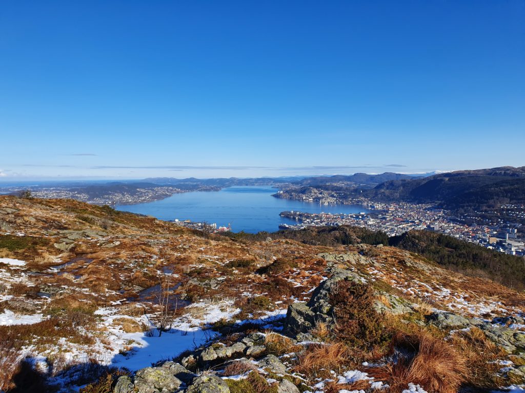
Sandviksfjellet and the popular Stoltzekleiven stairs takes you to 392 m.a.s.l. and is located next to Mt Fløyen on the north side of Bergen town. Due to its steep ascent the view from the top gives you a feeling of being high up, and the summit provides very pretty views of the main sailors route to Bergen Port from both south and north.
The most popular route to Sandviksfjellet is the Stoltzekleiven stairs, accessible from Fjellveien via Hoffmannsvei, consisting of approx. 900 steps. This route is a very popular exercise route among the locals and is often busy in the afternoons and evenings, particularly on good weather days. Locals just call it “Stoltzen” and most hikers know their personal record up these stairs, which is often used as an indication of how fit you are. Every September there is a mountain run called Stoltzekleiven Opp, by many deemed as a local kind of “iron man” test. The hike up Stoltzekleieven is not so difficult but rather steep.
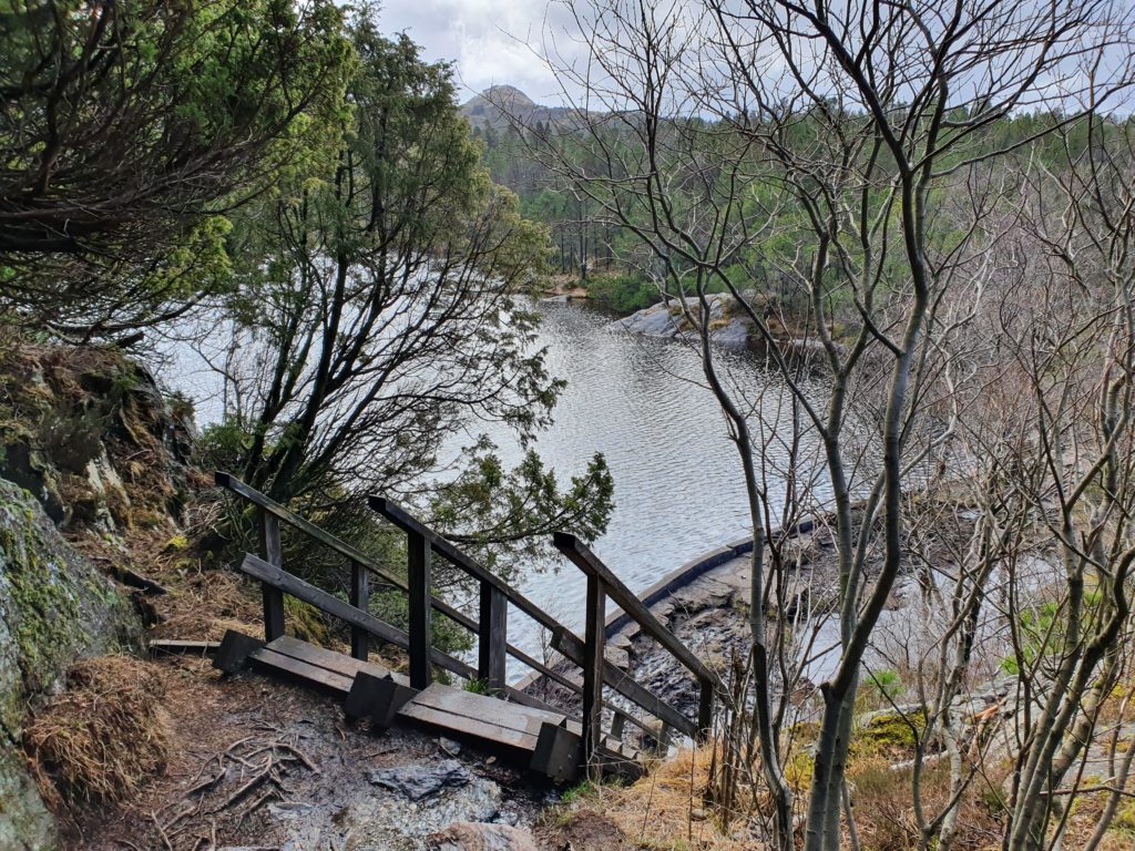
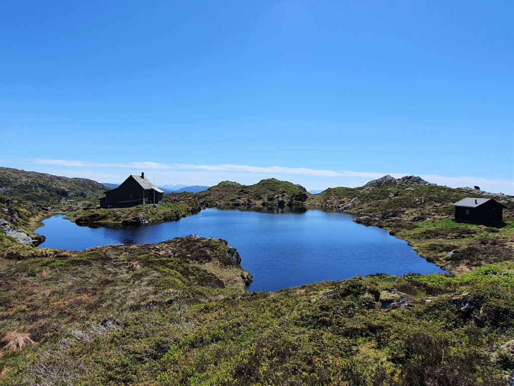
It is possible to hike back down the steps you come up, but this is not recommended as the staircase up Stoltzekleiven is very narrow and steep. The better option is to make it a round trip and continue higher up from Sandviksfjellet to Mt Rundemanen, and walk back down to Bergen via Mt Fløyen. This route gives the hike some more wilderness, and makes it a rather long hike (2-3hrs) that requires some experience of hiking. The path from the summit of Sandviksfjellet/Stoltzekleiven to Mt Rundemanen is not very clearly marked, so pay attention, and do not make this hike unless the weather is clear and predictable. Contact us for questions about local guides.
LYDERHORN
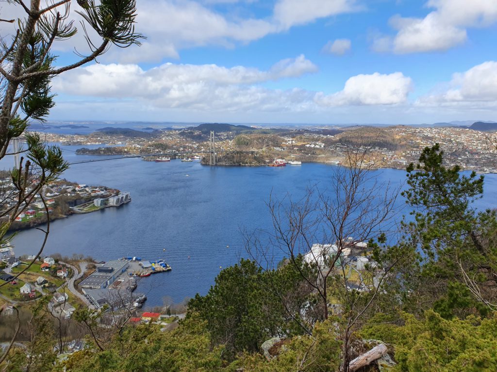
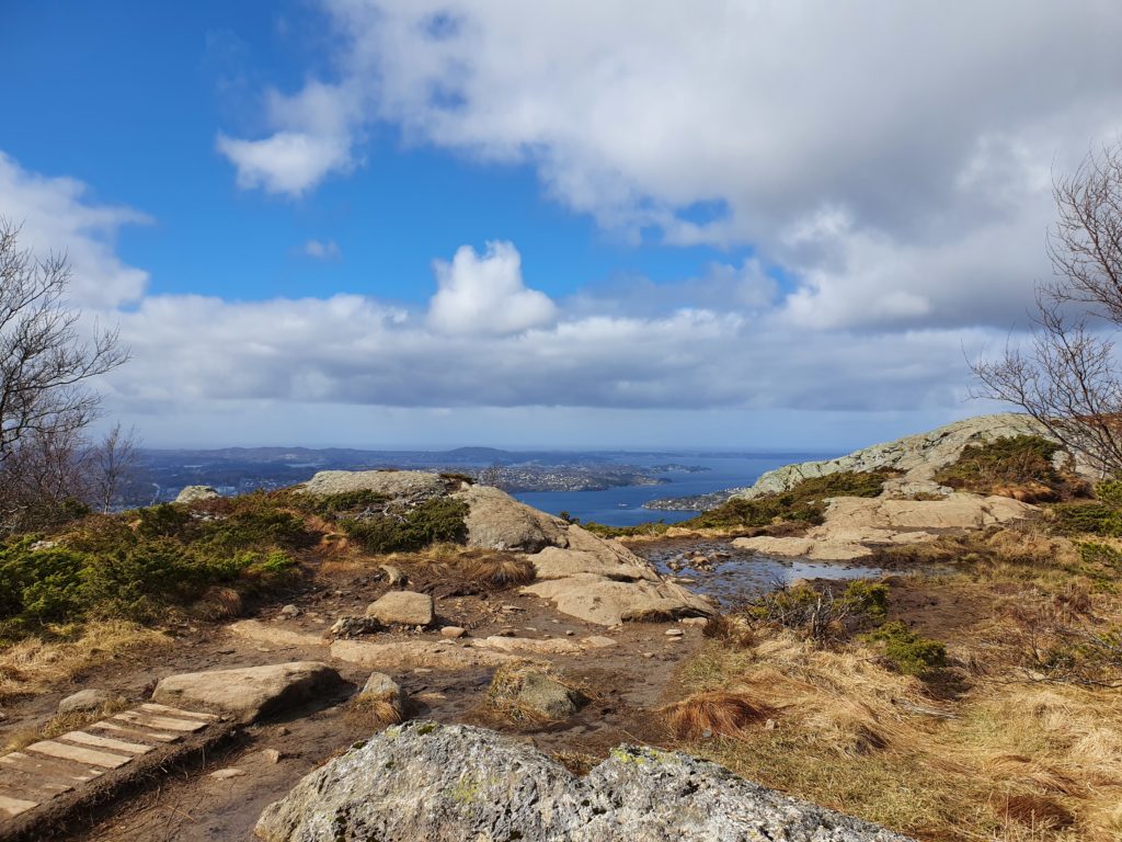
Lyderhorn is the most western mountain of the seven. It lies a little outside of Bergen town and offers an exciting history on the way in addition to really nice view of the sea in several directions. At the top you will get an impressive 360 degree view, with sight of the islands west of Bergen (Askøy, Sotra, Øygarden), the surburbs Loddefjord, Olsvik and Kjøkkelvik, and the Bergen valley. There are several different ways to start the hike to Lyderhorn as it is accessed from several surburbs. If you come from Bergen town we recommend starting at Gravdal. This hiking trail can easily be reached by bus, bike or car to Gravdal. None of the hikes can easily be accessed by foot from Bergen town. The Lyderhorn hike has a great view towards the ocean and in particular the main sea way to Bergen from the south west.
Because of this location so far west it has a lot of defence and WWII history with old forts and bunkers. The old fort called Kvarven Fort was originally built between 1895 and 1905 as part of Bergens defence. Then later, during the second world war when Norway was occupied by the Germans for five years (9th April 1940-8th May 1945), there were more bunkers made in the area as German soldiers were scouting from the hills of Lyderhorn towards the main seaway entrance to the port of Bergen. They were looking out for attacks from the allies, in particular the Brits.
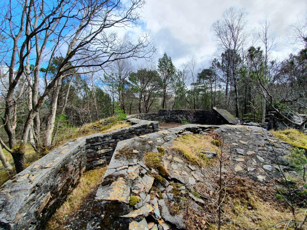
Accessing Lyderhorn from Gravdal will take you past the Kvarven Fort area. Even if you do not summit this area is great for a family outing or just walking around the varied terrain, seeing the views, exploring the history. There are several good spots for picnics as well. It is worth visiting the area even if you do not go all the way to the top of Mt Lyderhorn. To access the foot of Mt Lyderhorn and the Kvarven Fort go to Gravdal where there is a bus stop near by. Once you have passed through a dock that hosts businesses and looks rather industrial you will come to a small car park available for hikers. If you go by car you may park there.
You start hiking on a tarmac road for a while which takes you to the Kvarven Fort, then takes you to a long uneven mountain track that leads to the summit. At the Kvarven Fort you will be able to see the remains of the old fort on your way and at the same time get some good views of the ocean. Here there are also some basic toilet facilities too. If you want to be sure not to miss anything and also get to see the torpedo history by the seashore make sure you hire a local guide to show you the area.
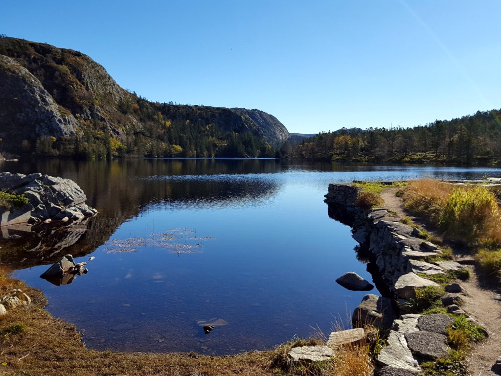
If you wish continue to the summit of Lyderhorn at 396 m.a.s.l. the path starts at the end of the gravel road, and is signposted. The hike leading to the Lyderhorn summit goes past the Skåleviksvatnet, a nice spot for picnic, however please note it is a water reservoir for drinking water, and so it is forbidden to fish or swim in it.
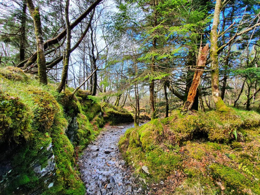
The foot path leading to the summit of Lyderhorn is varied with a bit of up and down in the beginning, heading east along the ridge of the mountain, before reaching a more step ascent when accessing the actual summit. Here there are some difficult parts in the footpath, as there are some steep parts, and the trails are at points quite demanding and requires experience with hiking on uneven trails. It is vital to have proper footwear, and the trail is often wet and muddy despite several days of dry weather.
DAMSGÅRDSFJELLET
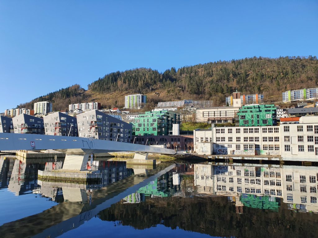
Damsgårdsfjellet is located next to Lyderhorn, a little closer to the Bergen town. The mountain trail can be reach by foot, it is about 3 km to walk from Bergen centre, across the Puddefjordsbroen (bridge), past the old mansion Damsgård Hovedgård and onto Herman Gransvei at Laksevåg. Another option is to take the bus to Laksevåg and find Herman Gransvei from there. Cycling or driving a car to the start of the trail is also possible, however, there is no designated car park, so normal street parking rules apply.
We recommend hiking with a guide to find this trail and to ensure you do not get lost on the mountain. Although it is not so far to the top, the hiking trail is relatively difficult, as it is steep, has some cliffs and is often muddy, and the trail itself is not always very clearly signposted. Since there is a residential neighbourhood nearby the trail can easily be confused by small short cuts made by the locals. However, if you make your way up, the view of both Bergen town, towards Mt Fløyen and Mt Ulriken, and towards the sea is well worth it. Damsgårdsfjellets summit is at 317 m.a.s.l. and offers a 360 degree view of Bergen and surrounding suburbs.
LØVSTAKKEN
Mt Løvstakken does not look very high seen from Bergen town as the summit cannot be seen from there, but at its 477 m.a.s.l this mountain offers really nice 360 degree views from the top towards Bergen, the sea, Askøy, Mt Ulriken, Mt Fløyen, and the Vidden platau. It has a very steep ascent and decent, especially the first half of the hike.

It starts with a gravel path, which leads you to an uneven hiking trail with some rocky and slippery parts. You know you are on the right way when you pass a big rock next to the gravel path that says “Jesus lever” (Jesus is alive), a slogan inscribed in the rock in the early 1900s by a bricklayer called Alfred Westerlid. This rock has unofficially named the hiking trail the “Jesus Lever trail to Mt Løvstakken” among locals.
Mt Løvstakken is one of the mountain in Bergen with the highest number of different trails leading to the top from different suburbs spread across the entire foot of the mountain. In this respect Mt Løvstakken is accessible to a high number of locals on a daily basis.
You know you have reached the summit when you see the 3 metre tall cairn towards the west of the summit, built by locals shortly after the Germans withdrew from Norway after WWII in 1945. My own great grandfather was also part of the team who built the cairn. To access the hiking trail we recommend that you start from Løvstien, a gravel pedestrian road located along the foot of Mt Løvstakken. To get to Løvstien you can walk from Bergen town centre past the Natural History Museum, then to the Bergen City beach where you can cross the small pedestrian bridge called Småpudden that takes you across the canal called Damsgårdssundet.
From the other side of Småpudden bridge you will have to walk uphill in between the residential area to get to the Løvstien where you will access the bottom of the “Jesus Lever” hiking trail. Choose the same route back to Bergen town centre. As you cross the Småpudden bridge and arrive at the Bergen Beach you should stop by at a local barista and café that burns their own coffee and makes delicious cakes and vegetarian dishes, called Bergen Kaffebrenneri (BKB). If you are lucky and the sun is shining they have a patio with seats outside for a sunny afternoon.
ULRIKEN

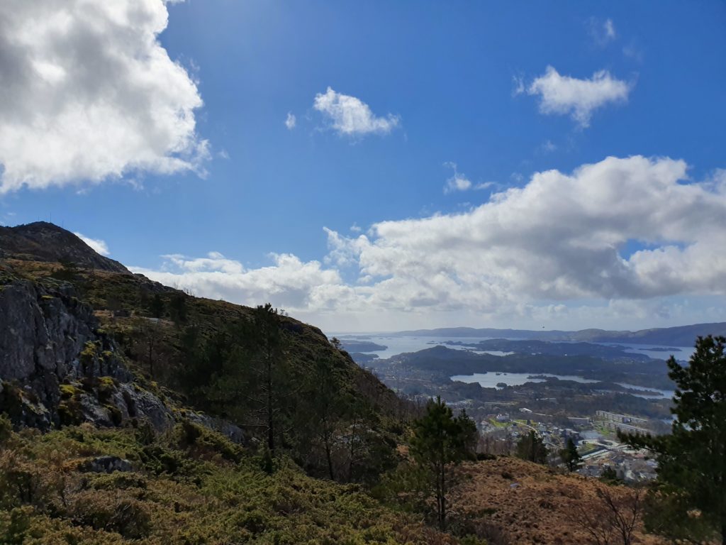
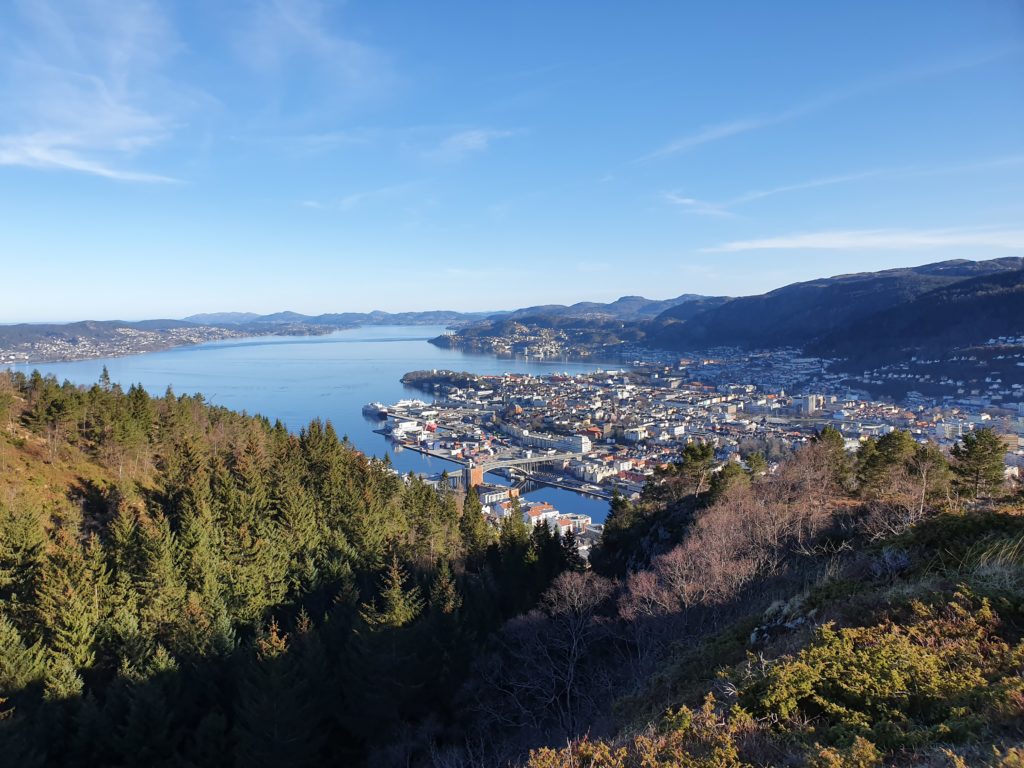
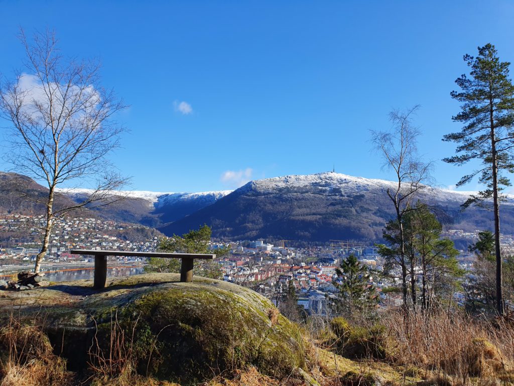
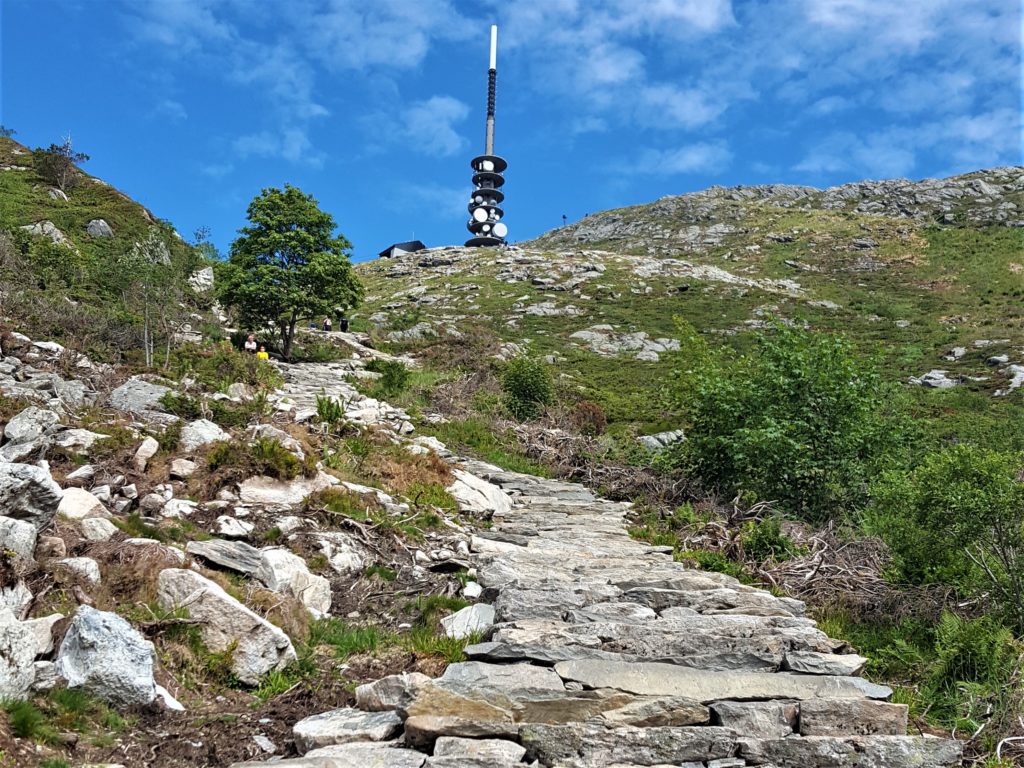
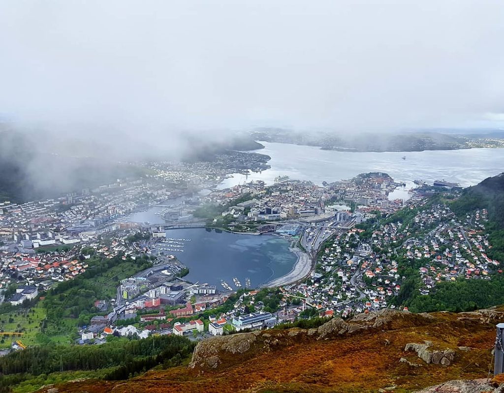
Then there is the infamous Mt Ulriken, the highest of the seven summits at 635 m.a.s.l. and the only mountain with a gondola, called Ulriksbanen. Ulriken is the iconic mountain easily seen from town centre, with a TV mast in front giving it a characheristic look. This mountain is easier to hike than you should think, especially after the hiking trail called Oppstemten opened, massive rocky stairs recently made by sherpas from Peru. It is steep, but doable for most hikers with an good fitness level.
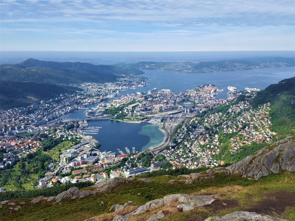
To access the trail you can hike from Bergen town centre, past the railway station, the ADO swimming arena, along the lake Store Lungegårdsvannet that also offers nice sights. Continue uphill and pass the Ulrikensbanen gondola bottom station, to the steep hill of Montana. From there you will already get some stunning views of the Bergen valley.
Continue uphill until you reach a gravel road. Further on you will find the stony footpath that takes you to the top of the iconic TV mast at the top of Mt Ulriken. From town to the top you should estimate at least 2-3 hours. Alternatively, you can catch a bus to Haukeland Universitetssykehus and start the hike from there following the same route.
Mt Ulriken is known to be the most “patriotic” of the mountains and is often used as a “trademark” for Bergen. Many claims it has the most stunning views of Bergen and the surrounding area. From Mt Ulriken it is possible to start a long and demanding hike to Mt Fløyen, across a long platau called Vidden. This hike is a daytrip and recommended for experienced hikers only, and we highly recommend hiring a guide for this kind of trip.
Remember, the weather changes quickly even though these mountains are near the city you should take your precautions and bring extra clothes, waterproof clothing, something to drink and eat, and proper hiking footwear. The hikes may be longer than they sound because of winding roads and trails, so proper footwear is a must. Even though the weather is dry in the city it could be very wet and muddy on the mountain trails. Contact us for questions about what gear to bring.
We hope you found this blog post useful and you will enjoy the local mountains as much as we do! Follow us on Instagram for daily updates and hiking ideas.