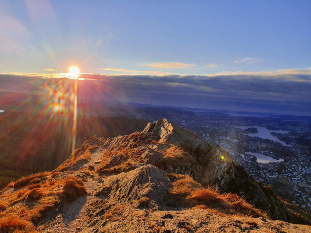
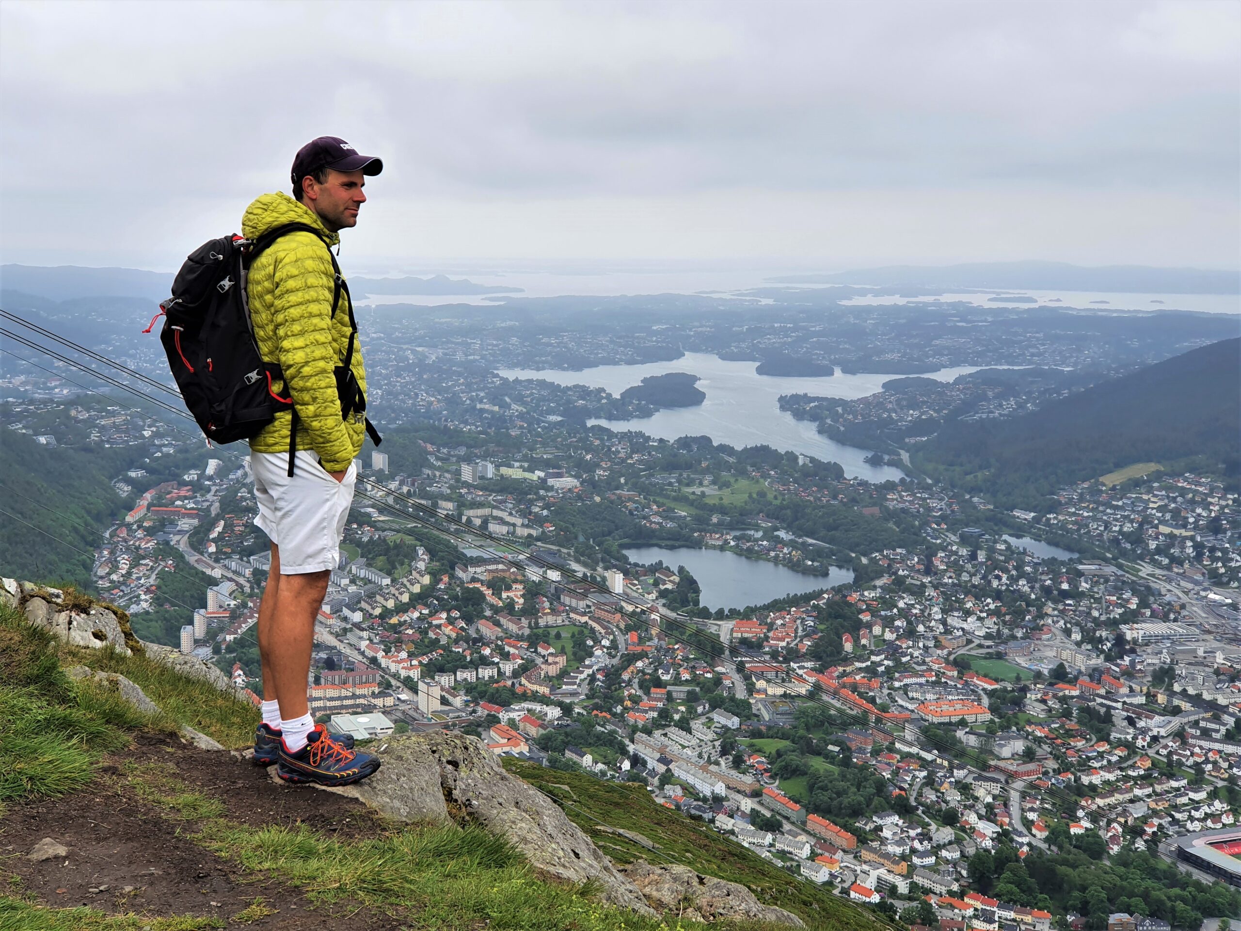
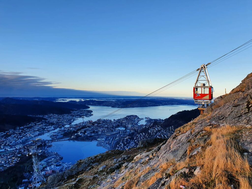
Ulriken is the highest among the seven Bergen city mountains. Hiking at Mt Ulriken (643 m.a.s.l.) is always an experience, even if you have been there several times before. Every time we go there the view stuns us, overlooking the entire Bergen valley with the Bergen fjords, and the mountain plateau Vidden.
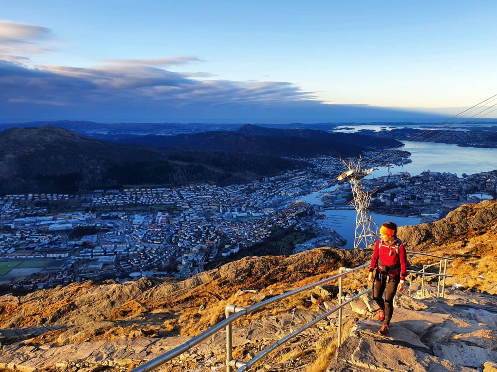
If you start the hike in Bergen you find yourselves at sea level, and so you will ascend about 600 metres to get to the top. Due to its steepness (especially the route up Oppstemten, the Sherpa stairs) it can be rather strenuous, although it is not very long.
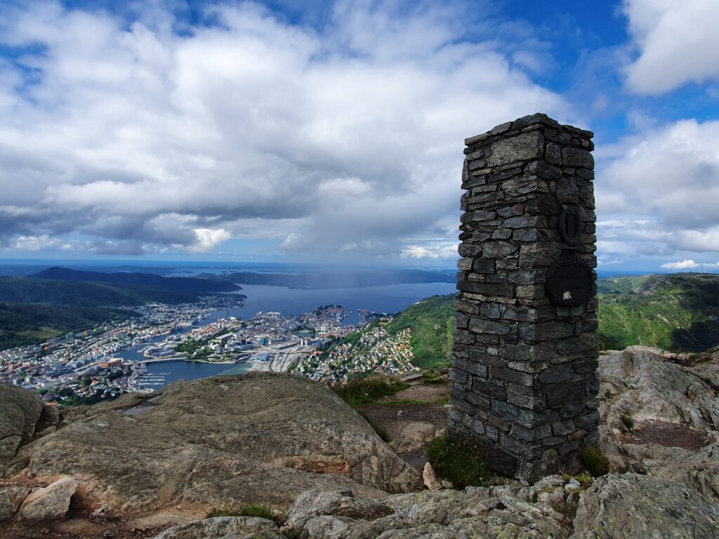
The start of the hiking path at Mt Ulriken is a few kilometres outside Bergen town centre. Unfortunately parking at Ulriken is very difficult. There are not many places where parking is allowed for visitors, except at Montana Vandrerhjem (parking fee NOK 85,- ). It is possible to go by public transport to the area of Haukeland Universitetssykehus.
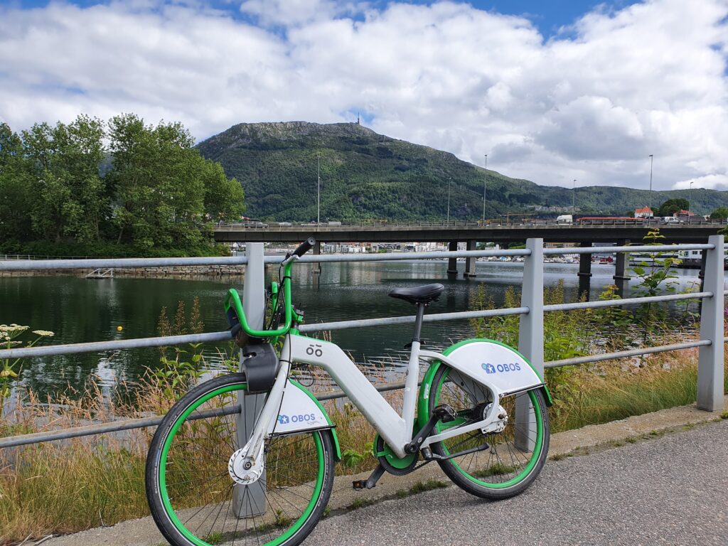
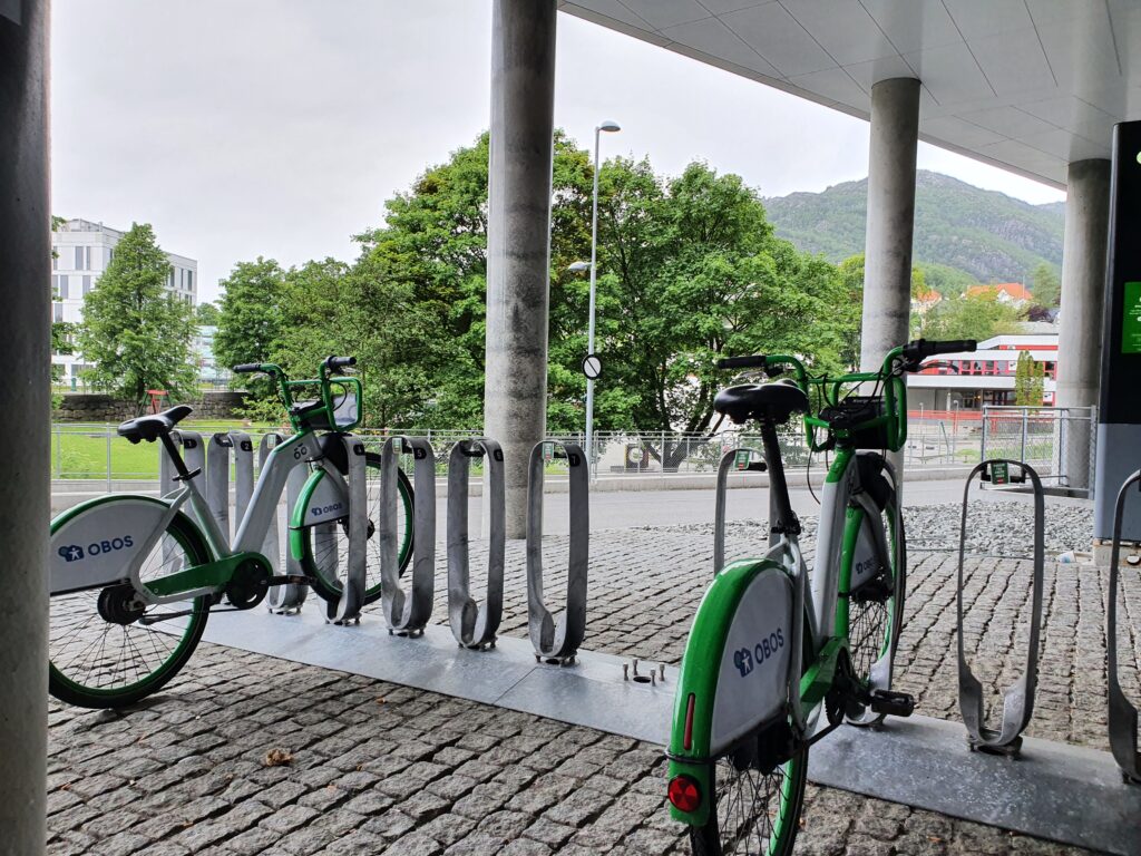
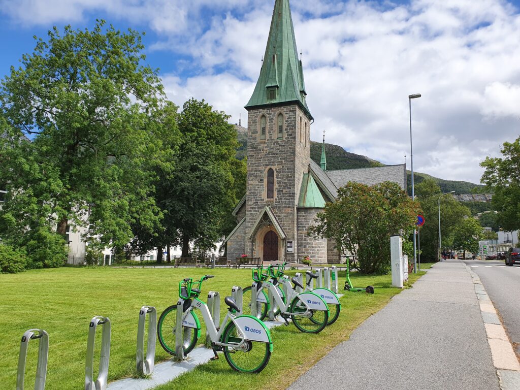
However, we have found another ideal way of getting there by using the Bergen city bike (Bergen Bysykkel – link at the bottom of the page) . You can pick up the bike at any bike station near you in town, and ride over to Haraldsass Hospital which is the nearest station to park the bike.
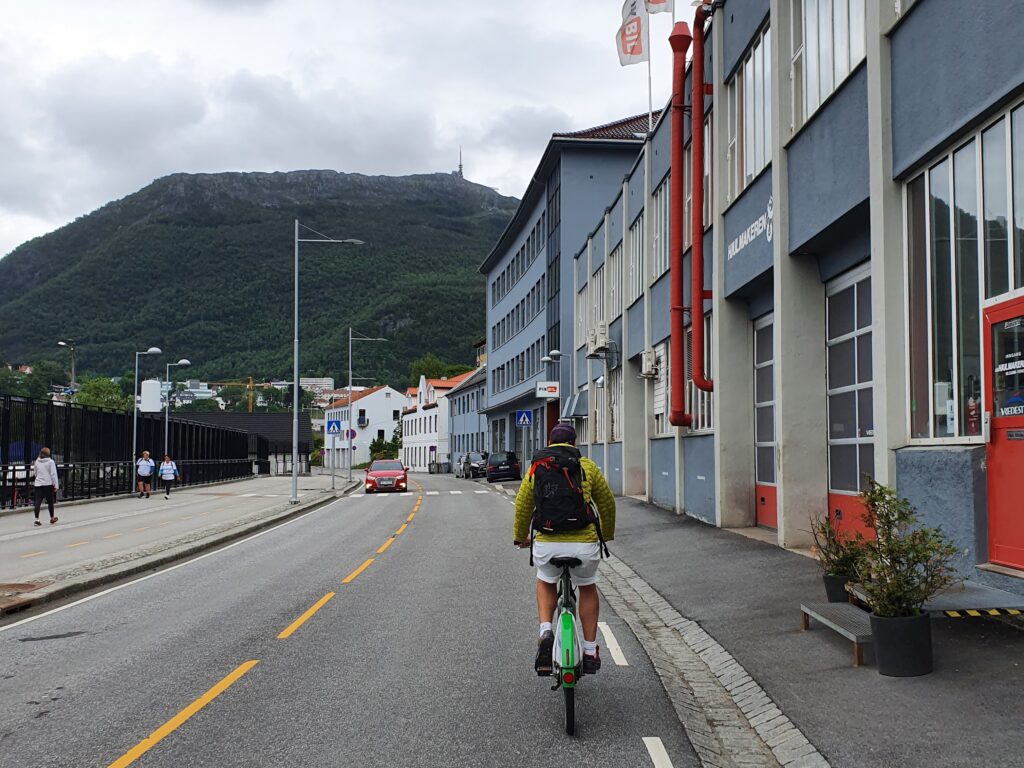
It is also possible to park the bike at Årstad Kirke (church) or Haukeland Sykehus.
From Haraldsplass you walk past the gate to the car park, and through what looks like the old garden and you get to the road named Ulriksdal, that takes you on to Haukelandsbakken which takes you past the gondola of Ulriksbanen’s bottom station. Where the car road comes to an end at a roundabout you carry on up the steep hill to Montana.
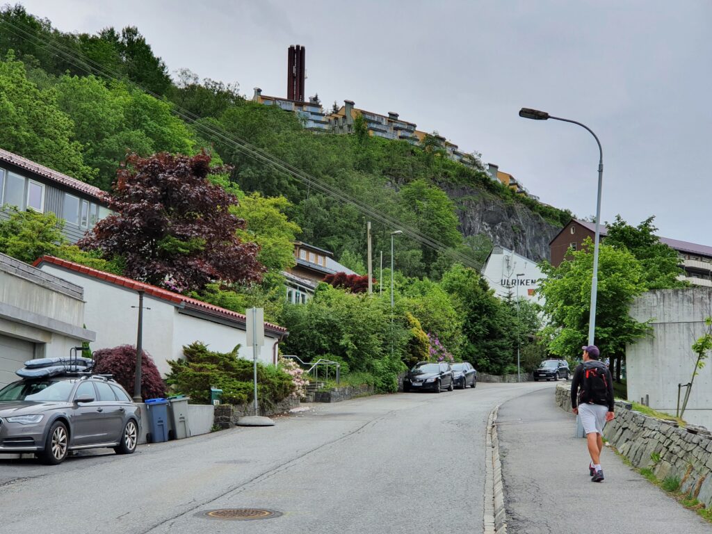
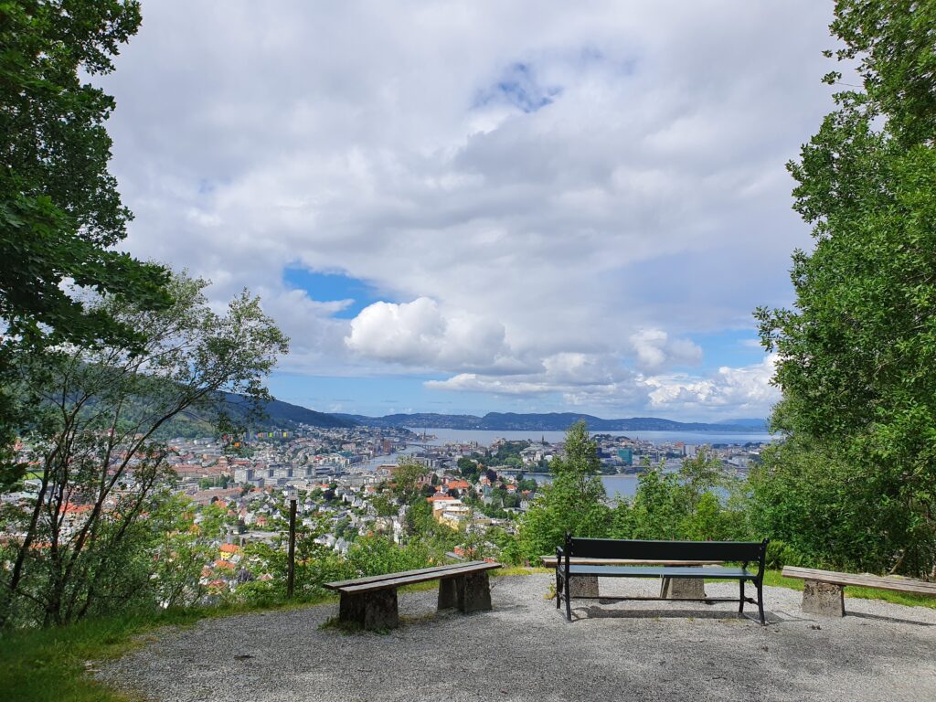
At Montana you start getting some views over the Bergen valley, and this place could be worth a visit in its own right if you do not want to do the hike up to Ulriken. We sometimes make Montana a part of our running route when running in Bergen. From here you continue up the hill, pass the Montana Vandrerhjem and a powerstation on the left, and there you are at the start of the hiking path.
See our related blog post Bergen running routes . You might also like our blog post The seven summits of Bergen: your hiking guide and Secret photo spots in Bergen .
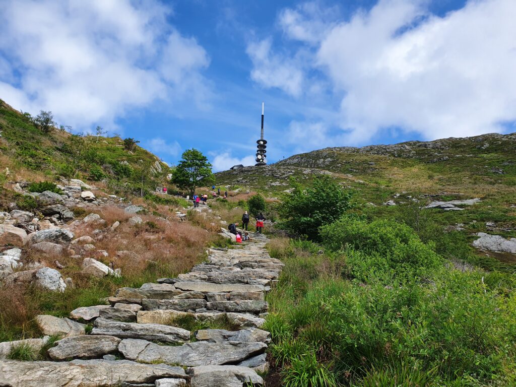
Once you have climbed the first kilometre of the hiking path which is a gravel road, you will get to the footpath. When you arrive at the start of some nice big stone steps you can choose the route Oppstemten which is the relatively new Sherpa stairs and is the steepest and quickest way to the top. This route is popular among locals who do their exercise here on a regular basis.
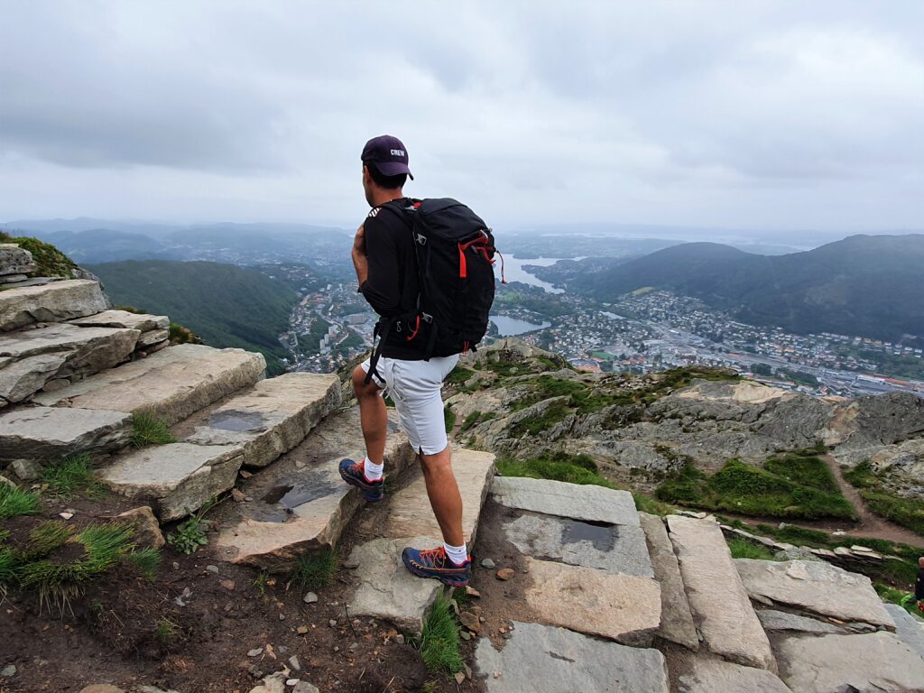
Another routes goes to the right instead, and follows a traditional mountain trail around the ridge and to the top. This route is very nice and takes you past a few huts as you get near the top. The access to Ulriken comes from behind the radio mast taking this route.
Ascending the Oppstemten will take you up straight underneath the radio mast that can be seen from the bottom. Allow a little more time to do the route around the ridge, named Korketrekkeren.
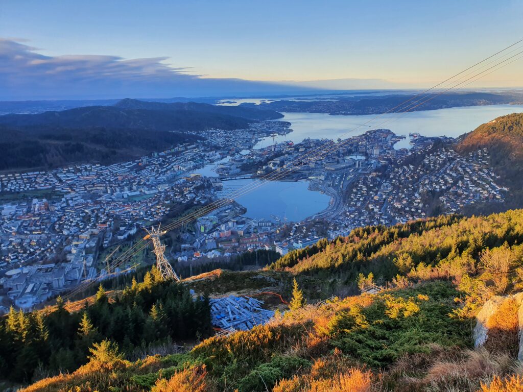
In fact, we recommend ascending the Oppstemten and descending the other route. That makes the Ulriken hike to a lovely roundtrip. This will give you a different scenery and another impressive view coming back down, passing a beautiful lake and some small huts on the way. It will also be less hard on your knees, although this route is a little longer.
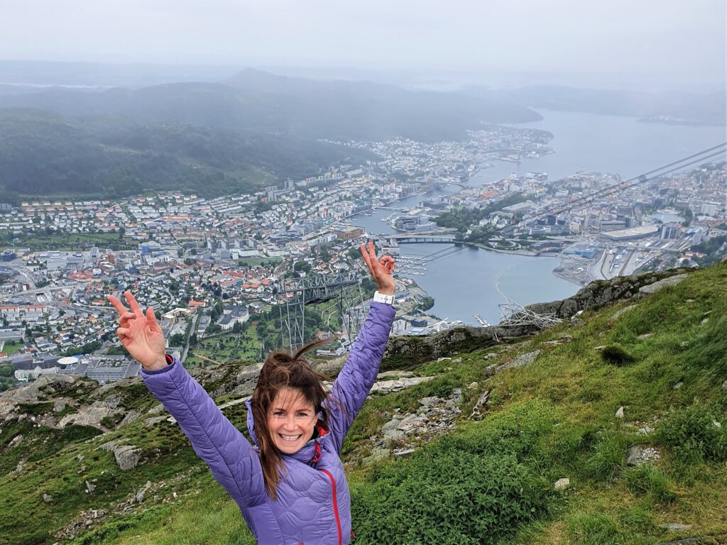
Allow 2-4 hours on the entire trip, depending on your fitness level, and make sure you bring extra clothes and wear proper hiking shoes.
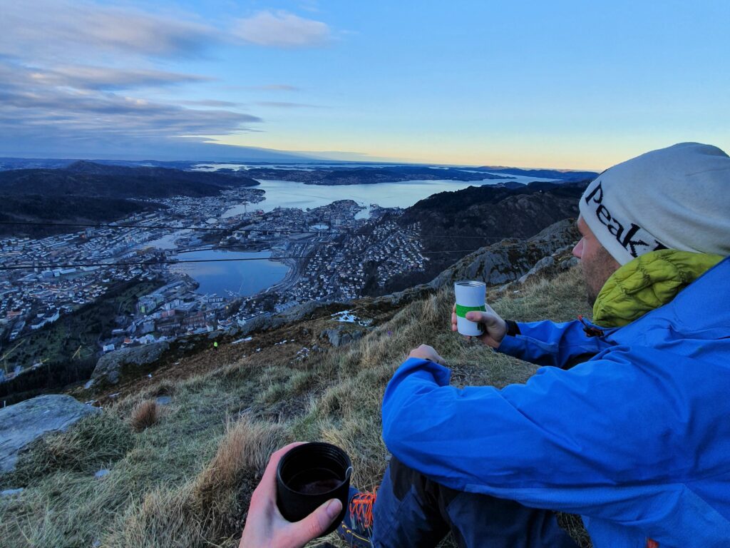
Coming back down if there aren’t any bikes available at the Haraldsplass station where you left it, you may pick up a bike at Haukeland Sykehus, Odontologen or at Årstad kirke. The Bergen City bike app tells you how many bikes are available at each station.
Simply enjoy the ride back to Bergen town, and park your bike at the most convenient station.
To use the Bergen City Bike you have to download the app: https://bergenbysykkel.no/app
Learn more here: https://bergenbysykkel.no/
