Running is a great way to discover Bergen and at the same time get some exercise. I love running in Bergen, because the city has short distances and running there gives a lot of variety in a short space of time.
If you do not have much time to explore Bergen a run can reveal more than you would get to see otherwise. Several sights worth seeing in Bergen can be reached by foot and so also incorporated in a run, as described below.
The weather in Bergen is often a little wet. With appropriate running gear these short to medium length runs allow for fresh air and exercise in any weather. Unlike many cities the air quality in Bergen is usually clean and fresh due to the slight draught in the valley most of the time.
During the summertime running can be done in daylight from 4 am to 11pm. In the winter it will be dark before 8am and after 4 pm, so ensure you bring some reflective clothing for running in the winter. The following routes can be done in the dark as the roads are mostly lit.
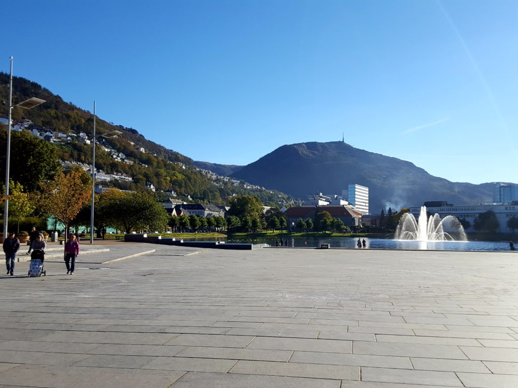
I recommend a few running routes below to help you get your exercise and at the same time discover parts of Bergen worth seeing.
All the runs take a starting point at the main square in Bergen town at Festplassen next to a small oval lake called Lille Lungegårdsvannet.
The panorama running route through Fjellveien
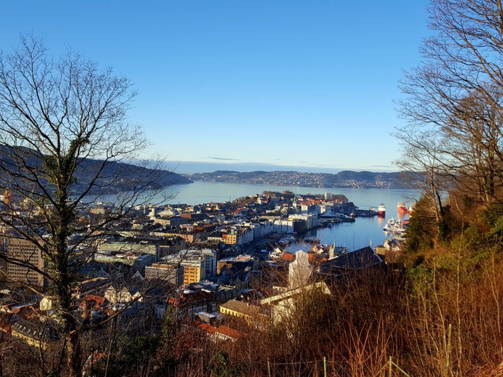
Distance: 6km
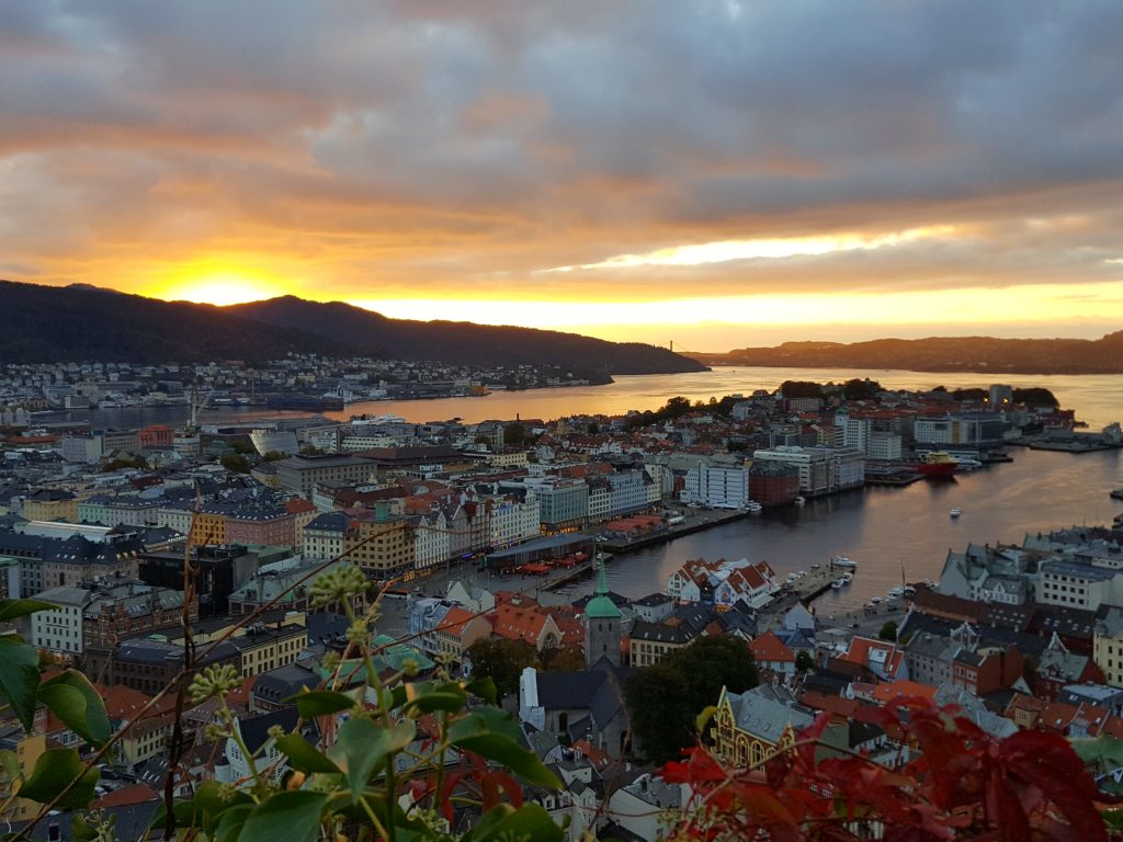
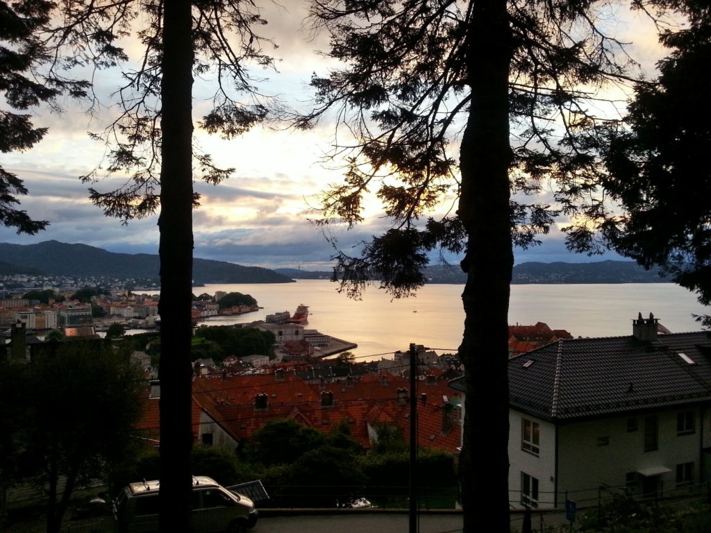
This route takes you up to about 120 metres above sea level (Bergen town centre is at sea level) and gives scenic views of the bay of Bergen, and a great overview of Bergen town and surrounding mountains.
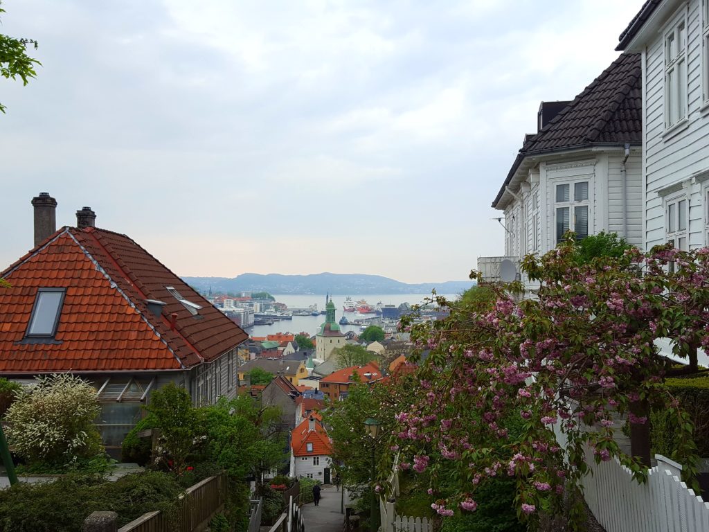
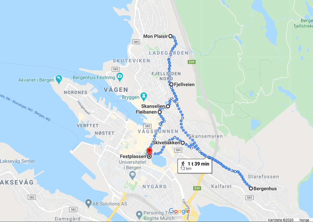
Running in Fjellveien is popular among locals, and the length of Fjellveien is about 4,5 km one way. This route takes you from town up to Fjellveien where we recommend that you start by running in the eastern direction with view towards Mt Ulriken, then turn around and run in the western direction along Fjellveien back towards the ocean. This route offers great views of Bergen.
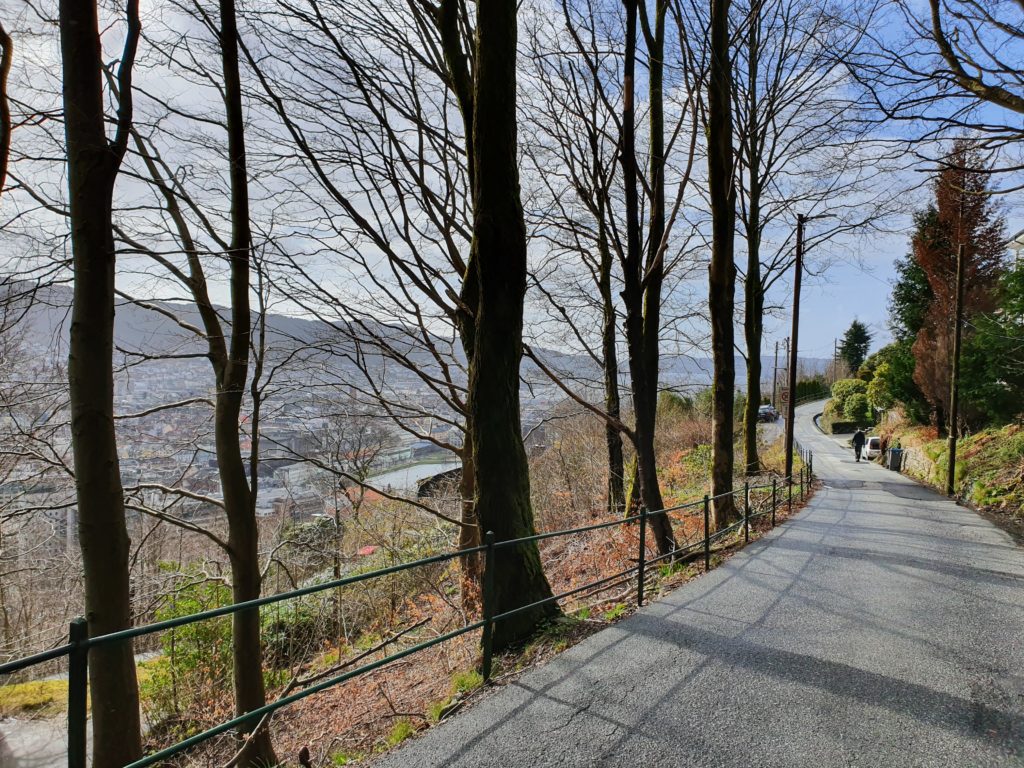
Running in Fjellveien allows you to make the run shorter or longer than described depending on where you want to turn around. When heading west towards the ocean we recommend running to the old temple like building called Mon Plaisir raised in 1836. On your way you will see some of Bergens most attractive neighbourhoods. Running back there are several options to return to town centre. This run is guaranteed to give you great views, even if the weather is not great.
Route Description:
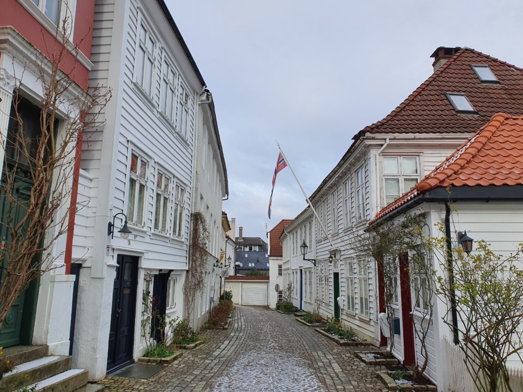
Start from Festplassen and head towards Domkirken (the Dome Church) and continue uphill towards a steep pedestrian road called Skivebakken. Here you will pass through a cobbled street and wooden houses going uphill, offering a picturesque view of the wooden houses roof tops, the Dome of the church, and the ocean in the far. (see picture). This leads you to Fjellveien where you can start by running south east direction, looking towards Mt Ulriken, and continue to where Fjellveien ends and meets Ole Irgensvei (a crossroads).
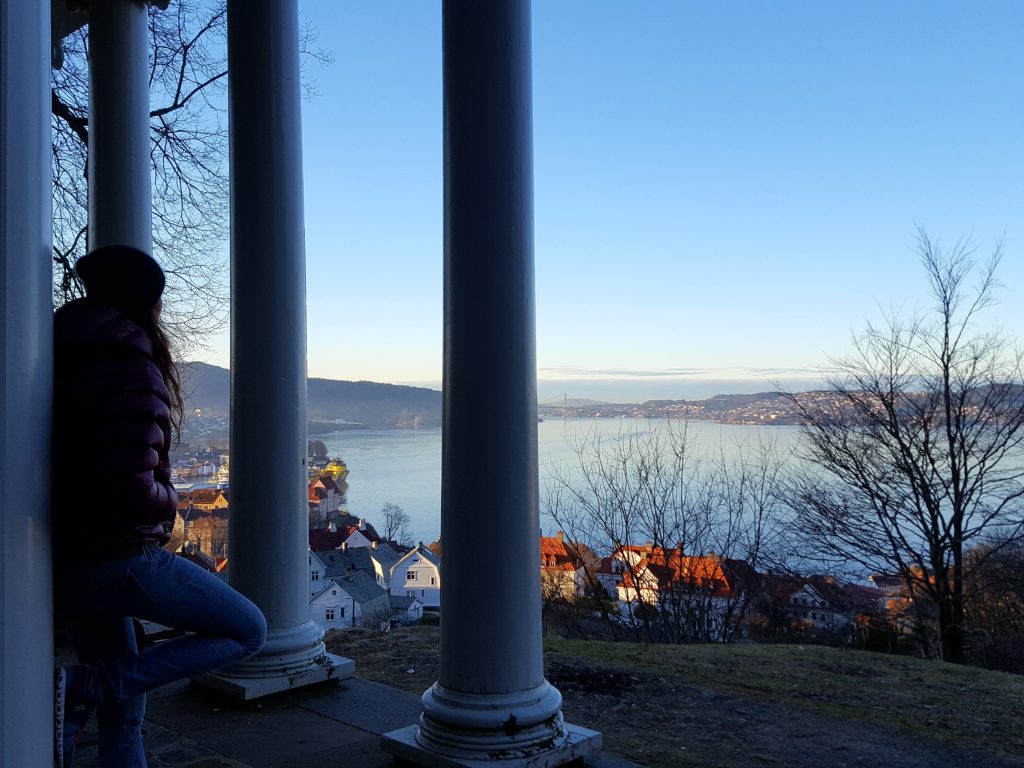
From here return back the same route now offering very nice view of Bergen town and the ocean ahead. When you return to the point where you joined Fjellveien just continue for as far as you like or to the natural end point which is at the old “temple” called Mon Plaisir built in 1836 (bilde).
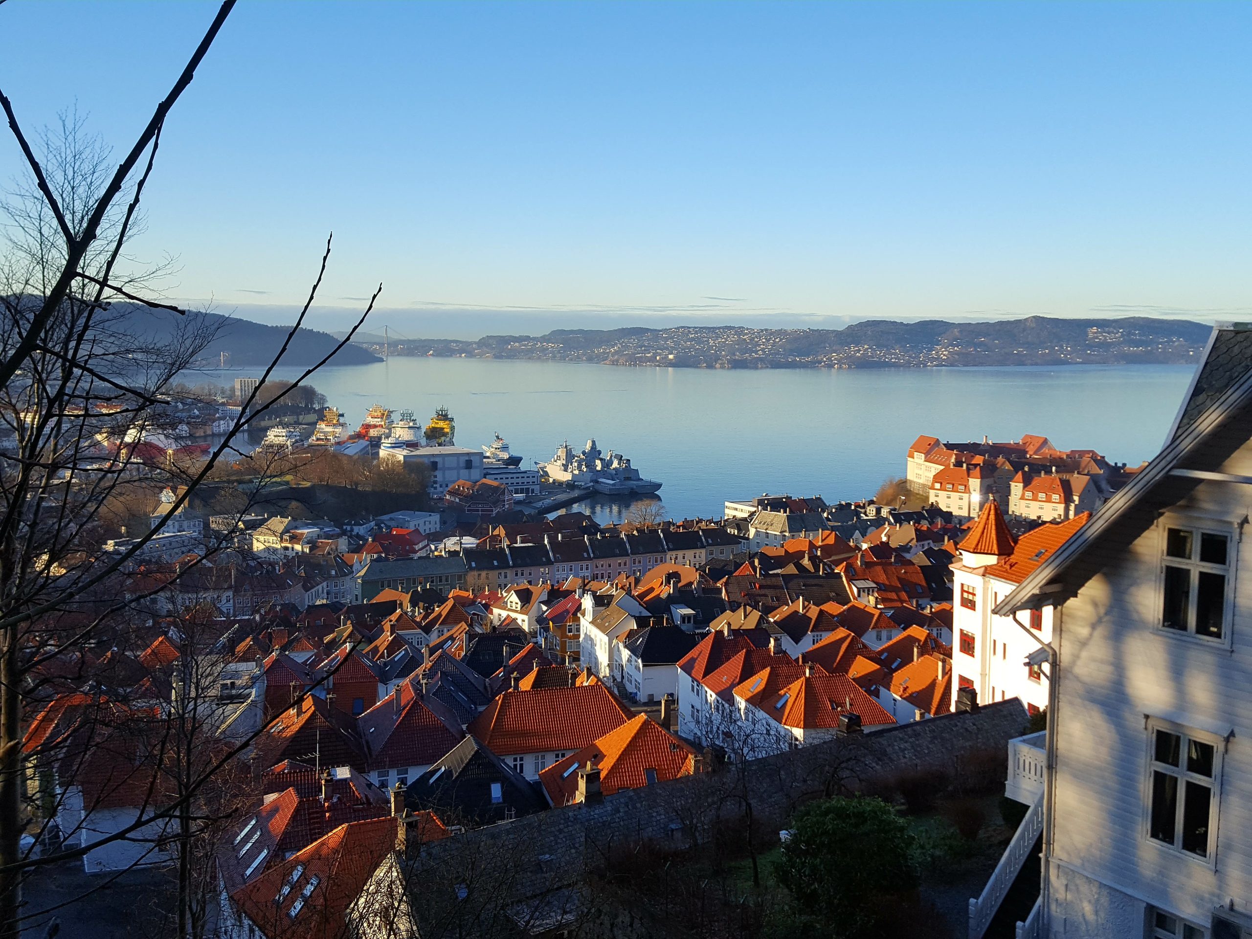
From Mon Plaisir you will have a very beautiful view. Turn around and return to town via Skansen and the Mt Fløyen funicular bottom station, or the same route you came up via Skivebakken.
Run around the Store Lungegårdsvannet
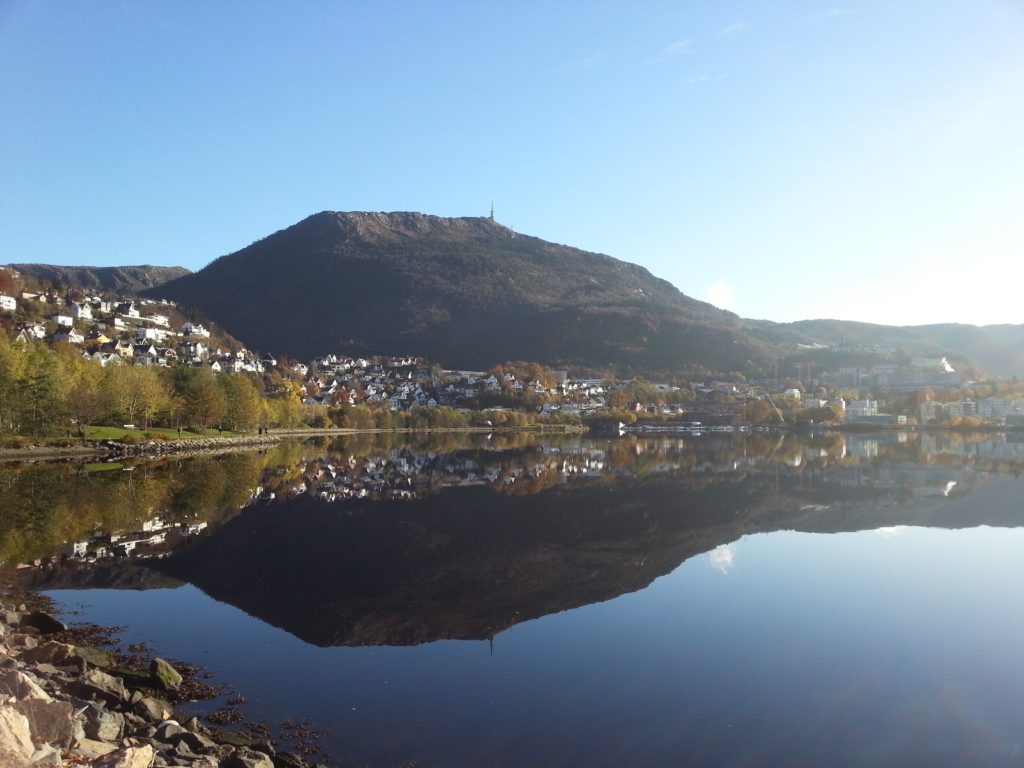
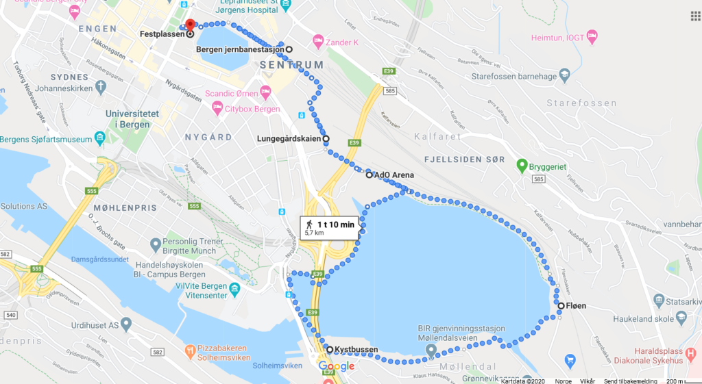
Distance: approx 5,5 kilometres
This run takes you for about 5-6 kilometres to the south-east of Bergen centre heading towards the Mt Ulriken. You will run along the bank of what looks like a lake but is actually the ocean coming in to the inner bay of Bergen.
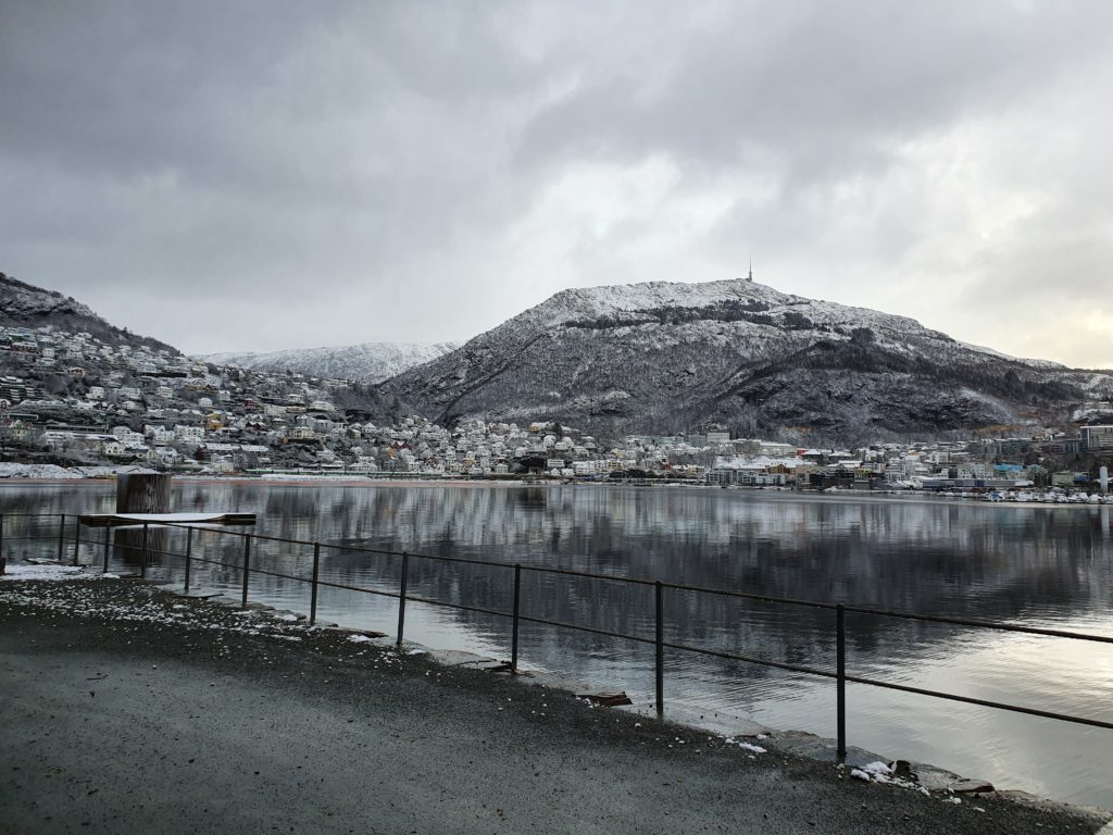
Historically the lake was larger and the waterfront wider and in the 1930s the area was an attractive area for recreation among locals. In the 1950s the area was needed to expand the city of Bergen and the waterfront was significantly reduced by filled masses to help gain area for a new motorway, more railway, a helicopter base, and a garbage plant. In the recent years the area has been improved to once again become a place for recreation such as running, swimming and walking. It is now possible to run along the entire lake, and even go for a swim in the lake on hot days.
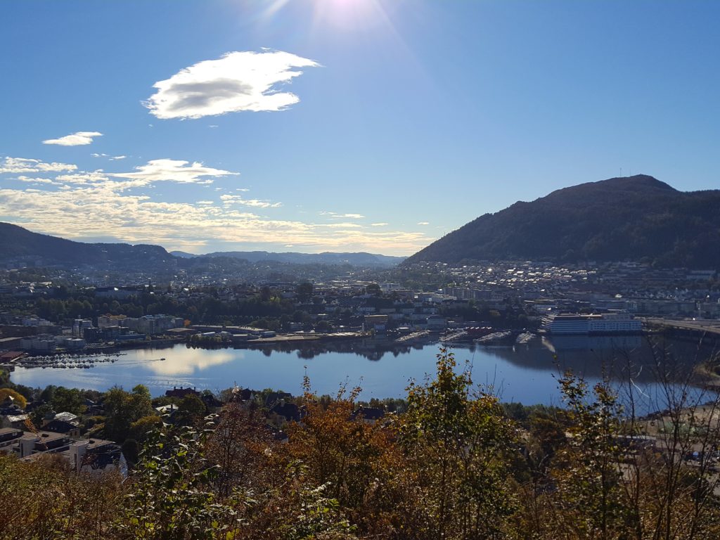
Route description:
Start at Festplassen and go on the north side along the small oval lake called Lille Lungegårdsvannet. A nice place often decorated with beautiful flowers on the bank. Continue past the Bergen Railwaystation with the building on your left and follow the main road next to the Bybane tracks. Continue past a few crossroads and head towards the direction of Mt Ulriken you can see in the distance (the mountain with the TV mast on top). You shall pass a large modern swimming hall called ADO Arena on your right hand. Then you have found the pedestrian road leading around the lake Lungegårdsvannet. Simply enjoy the view of the Mt Ulriken right in front, and the fresh air from the seafront. The lake is actually the ocean coming in and is a saltwater seafront.
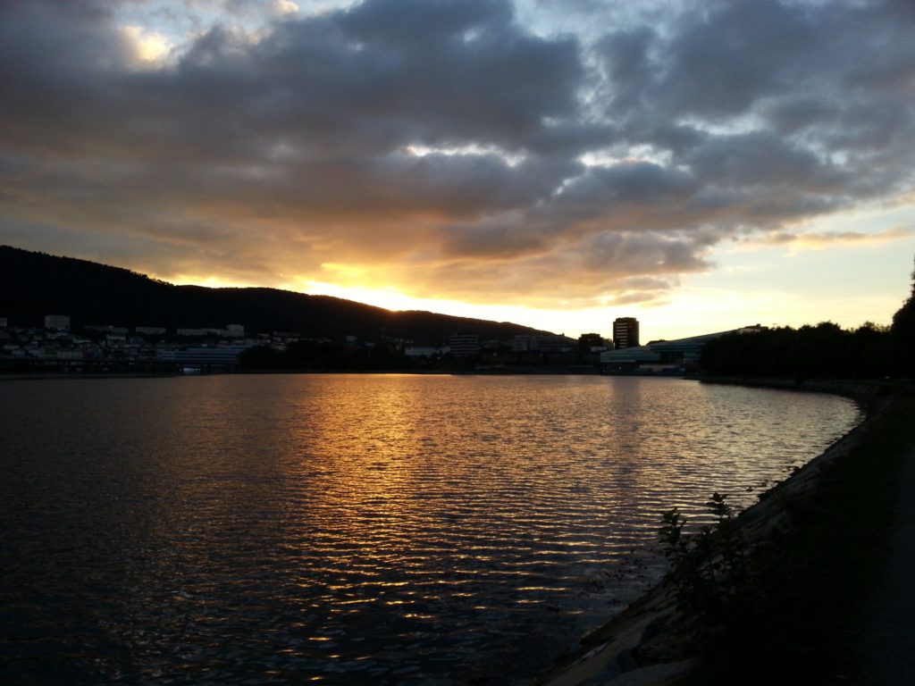
Continue on the pedestrian road right next to the lake in a clockwise direction until you pass a small bridge and get to a helicopter landing spot. Pass this and continue around the lake on pavement next to a car road. As you meet the tram track continue left under the motorway bridge. You pass a tram stop on you left and continue down a little slip road next to the lake and continue left again crossing below the motorway bridge onto a gravel pedestrian path right at the seafront called Nonnestien. Head towards the red pedestrian bridge and cross it to get back to the ADO arena. From here you find your way back the same route.
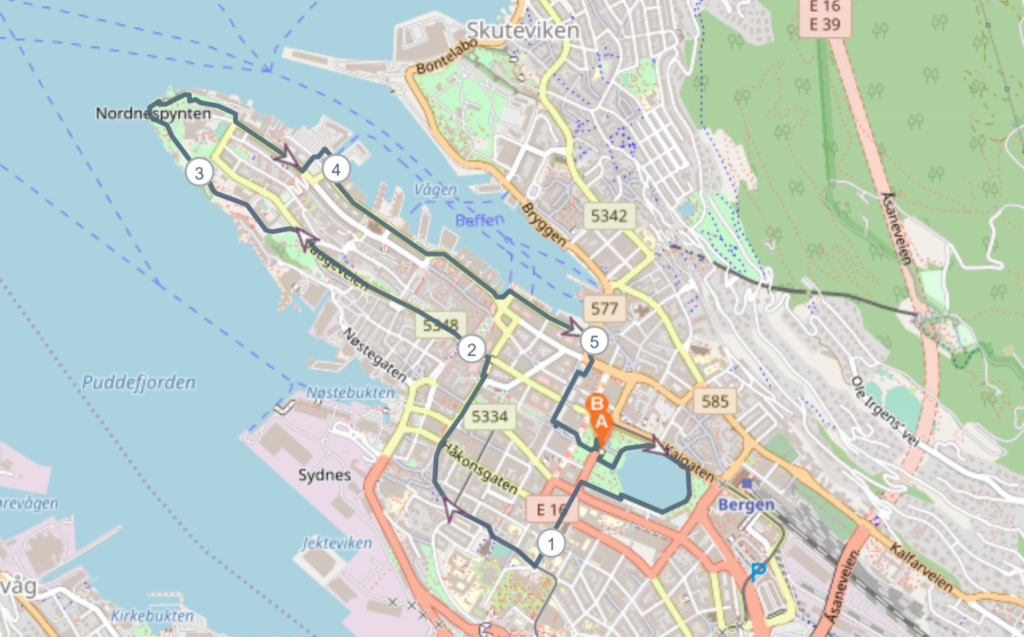
The park and seafront run – The Nordnes and Bryggen seafront
Distance: 5 km
This run takes you past some must see sites like Bryggen and takes you to the west part of town towards the peninsula at the seafront called Nordnes. At Nordnes you will find the beautiful Nordnes park that also is the home of the Nordnes Bad, a public swimming place for seafront and pool swimming in the summer.
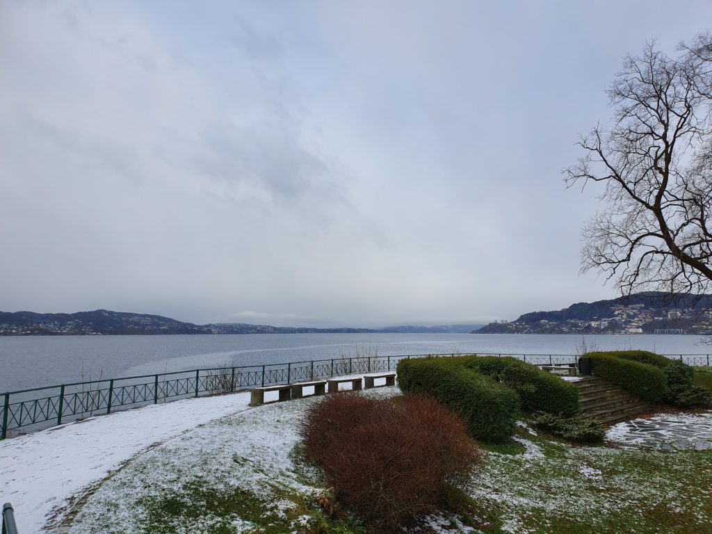
You will get picturesque views of the main sailing route to the port of Bergen, and on your way back pass the famous UNESCO world site Bryggen, and the local fishmarket. Bryggen is a truly historic place situated in the port of Bergen.
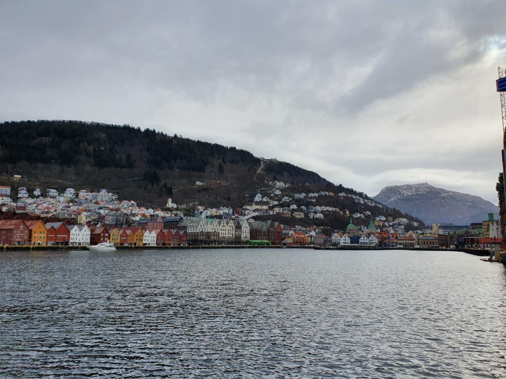
Bryggen was the Norwegian trading centre since around year 1000. Historically Bergen was one of the most prominent trading cities in Europe together with London, Brugge and Novgorod, and was under the Hanseatic trade movement after 1350 which continued for 500 years. One reason Bergen was such an important port for export/import of goods was that foreign ships for a long time were not allowed to go North of Bergen. The historic Bryggen and its related museums are carefully kept to tell the tales. On this route you will run past Bryggen and see it from a distance where it lies at the waterfront beneath the Mt Fløyen. It is easy to make the route pass directly if you wish by simply following the waterfront past the Fishmarket around the bay and back.
Route description:
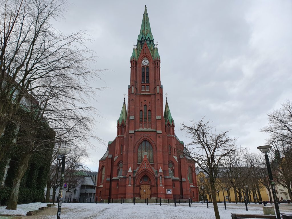
From Festplassen start by making a round around the small lake to warm up, then head towards the Natural History Museum, an amazing building from 1866 that looks more like a castle on a hill than a museum. From here you also pass the red church on the hill called the Johannes Church.
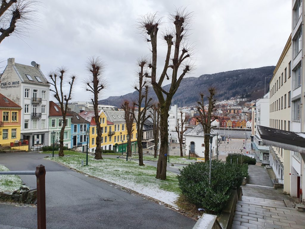
Continue to the cobbled pedestrian street called Sydneskleiven, a cosy hill with old wooden homes that takes you downhill for a bit then continue behind the Theatre (DNS) and to Klostergaten.
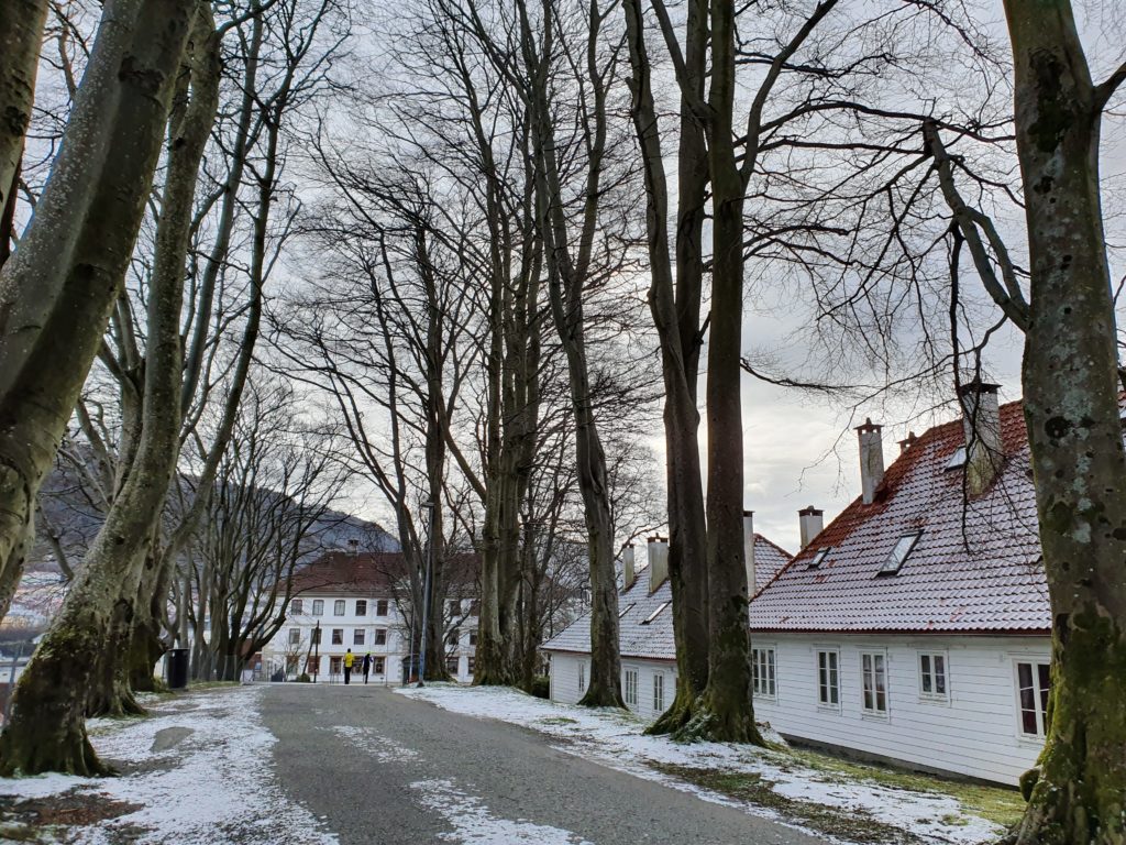
Head straight towards the Nordnes Park where you will reach the tip of the peninsula offering stunning seaviews. Make a few rounds in the park if you wish, ensure you run along the seafront before heading back through C.Sundtsgate taking you to the port of Bergen where you will see the view of Bryggen and reach the fishmarket. From here you return to your starting point.
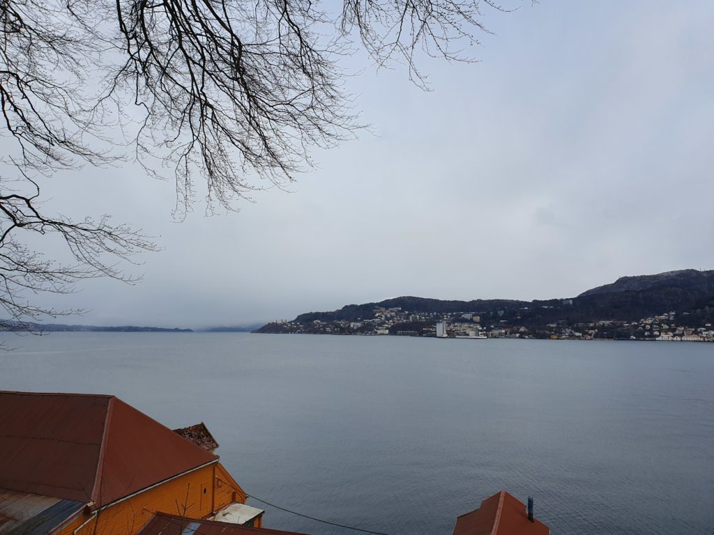
For a longer run I recommend combining any of the three runs above for a great route around Bergen.
Get in touch if you want more information. Have a great run!
